


The path follows the original walkways used by soldiers during the war, offering an authentic view of the fortifications of the time; the trail winds through a wooded area, where trenches carved into the rock, machine gun emplacements, and shelters are encountered.
ROUTE DESCRIPTION
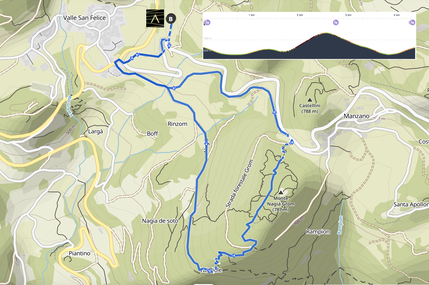
The route starts directly from our structure.